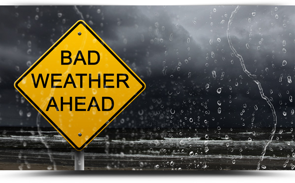
The cold snap looks set to continue.
Met Eireann are forecasting a cold week with frost in the county most nights.
Today will be a bright, blustery, showery day. Many of the showers will be heavy and prolonged, especially in southwestern, western and northern areas. Some local hail and thunder also. Temperatures 6 to 9 degrees at best and feeling colder in the fresh to strong and gusty west to northwesterly winds, reaching gale force around northern coasts this afternoon.
Tonight
Tonight showers will be confined gradually to coastal parts of the west and north and a few may be wintry. The winds will moderate a little, but still staying breezy. Turning cold under clearing skies with frost forming, together with a risk of icy patches and lowest temperature of 0 to 3 C.
Tomorrow
Tomorrow, Tuesday will be cold with long spells of sunshine in most parts. Some showers too, these mainly in northern and western areas. Afternoon highs will range 5 to 8 C., but it will likely feel colder in the fresh and gusty northwest to northerly winds, which will be strong on exposed coasts.
Outlook
Tuesday night will bring showers to north Ulster and northwest Connacht, turning wintry inland and about higher ground. Elsewhere, largely dry and cold under clear skies. Lows of -2 to +3 degrees with a widespread frost forming and a risk of icy patches. North to northwest winds will fall light inland, but will remain moderate to fresh near coasts.
Wednesday will bring good sunny spells for many, but showers will continue to affect north Ulster, northwest Connacht and West Munster, with some wintry precipitation possible inland. A cold day with afternoon highs of just 4 to 6 degrees Celsius in light to moderate northwest or northerly breezes.
Wednesday night: Largely dry, away from north and west coasts where wintry showers will continue, with long clear spells. Lows of -2 to +2 degrees with a widespread frost and a risk of icy patches.
Thursday: Cloud amounts increasing with showers continuing to affect parts of north Ulster and northwest Connacht, with an increased risk of showers extending into eastern parts of the country. Afternoon highs of 4 to 8 degrees.
At the moment Friday looks mainly dry with some rain and drizzle developing Friday evening or night.