
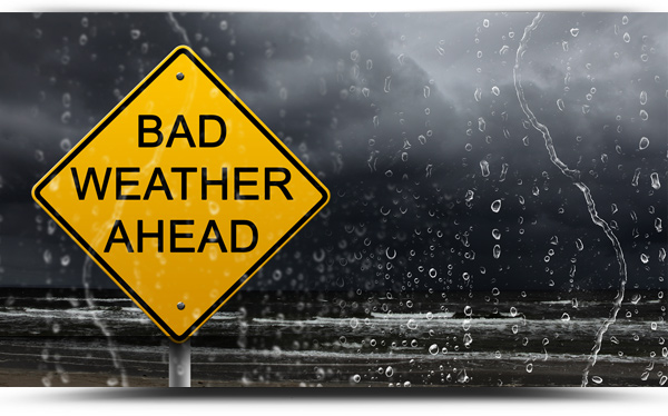
Storm Hannah is due to hit Ireland on Friday night with a Status Yellow wind warning issued for County Roscommon and all of Connacht.
The south of the country looks like bearing the brunt of the 130 km/h winds where a Status Red wind warning is in place for Clare and western coastal areas.
Status Orange is in place for county’s Galway. Tipperary, Waterford, Cork, Kerry and Limerick.
For Roscommon, Met Eireann forecast that it will become very windy on Friday night and for a time on Saturday morning. Southerly winds will veer northwesterly and reach mean speeds of 50-65 km/h with gusts of 90 to 110 km/h.
The warning is valid from Friday 26 April 2019 23:00 to Saturday 27 April 2019 09:00.
Outlook
Saturday will be another windy day, with a mix of sunny spells and scattered showers. Fresh to strong and gusty, northwesterly winds will gradually moderate towards evening. It will be rather cool, with highest temperatures of 9 to 11 degrees
Saturday night: Mainly dry with clear spells at first, but cloud will gradually thicken from the southwest and patchy light rain and drizzle will develop in parts of Munster and Connacht overnight. Lows of 2 to 7 degrees, coldest in Ulster where clear spells will persist the longest. Mist and fog patches will form in the mainly light breezes.
Sunday: Sunday will be a mainly cloudy and misty day with patchy light rain and drizzle. Some limited brighter intervals are possible towards evening. It will be a little milder than recent days, with highs of 11 to 16 degrees, coolest along the east coast. Light southeast or variable breezes.
Sunday night: Continuing mainly cloudy and misty with occasional rain or drizzle. Lows of 7 to 11 degrees in mainly light southeasterly breezes.
Monday: Monday will be a mainly cloudy day with occasional rain or showers, but some limited brighter intervals could occur in parts of the east and north. Rain will become persistent in the west later in the day, extending eastwards over the country on Monday night. Top temperatures 12 to 16 degrees in moderate southeasterly breezes.
Tuesday: Present indications for Tuesday suggest a wet start to the day in many places, but drier and brighter weather will gradually extend from the southwest as the day goes on. Top temperatures will be around 11 to 14 degrees with winds veering westerly.
Wednesday: Sunny spells and showers.
