A Status Yellow weather warning is in place until midday today Friday for scattered snow showers that may lead to accumulations of up to 3 cm.
Showers will be most frequent in the west and north.
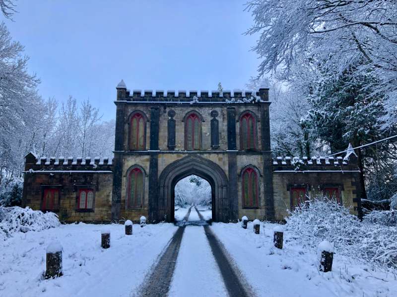
Snow has been falling in many parts of the county since early morning.
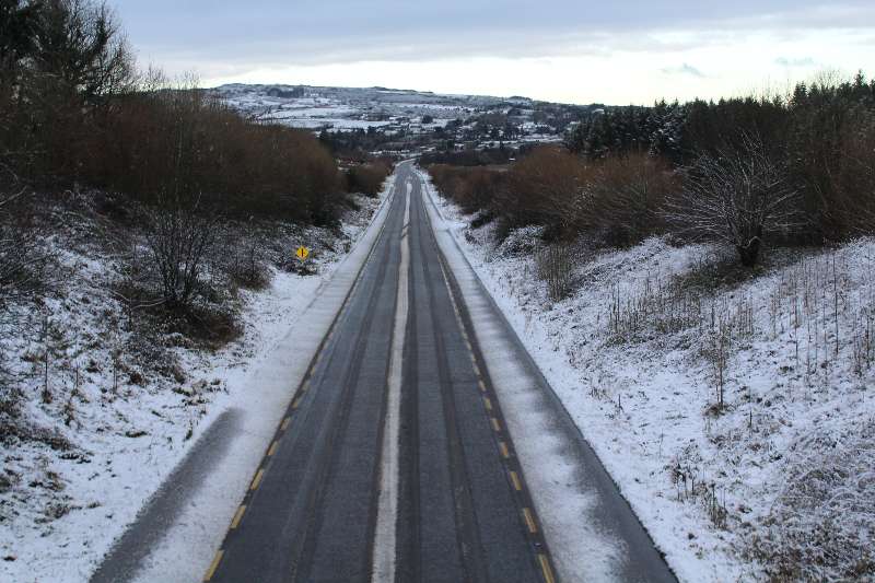
Road conditions are treacherous especially on back roads that have not been treated.
The N5 between Strokestown and Frenchpark is reportedly very dangerous early this morning.
The N4 between Collooney and Sligo was down to one lane shortly after 9.30am following a RTC.
Here is your met Eireann weekend forecast:
Friday
Cold this morning with frost and icy patches. Showers of rain, sleet and snow will continue, mainly in the west and north. This afternoon, they’ll be mainly of rain and sleet and will become more isolated. Good sunny spells also. Highest temperatures of 4 to 6 degrees with moderate to fresh west to northwest winds.
Friday night
Tonight will start off mainly dry with clear spells. Frost and icy patches will develop with lowest temperatures of -1 to +2 degrees. Around midnight, rain will develop in the west and will spread eastwards to all areas overnight along with fresh, gusty southerly winds bringing a rise in temperatures and clearing any frost.
Saturday
Saturday will be mostly cloudy with outbreaks of rain in many areas. Some drier intervals will develop for a time during the day. However, persistent or heavy rain will spread from the west through the late afternoon and evening with fresh to strong, gusty west to northwest winds. Highest temperatures of 9 to 12 degrees.
Outlook
Saturday night will start off wet and windy with persistent or heavy rain and strong, gusty westerly winds, which will veer northwesterly and ease a little as rain clears to the east. Wintry showers will follow from the west overnight. Lowest temperatures of -2 to +2 degrees with frost and icy patches developing.
Sunday will be very cold with sunny spells and wintry showers of rain, hail, sleet and snow with a risk of thunder. Highest temperature of just 2 to 6 degrees with moderate to fresh westerly winds. On Sunday night, wintry shower will continue with accumulations of snow in places. Frost and icy patches will develop also. lowest temperatures of -3 to 0 degrees.