

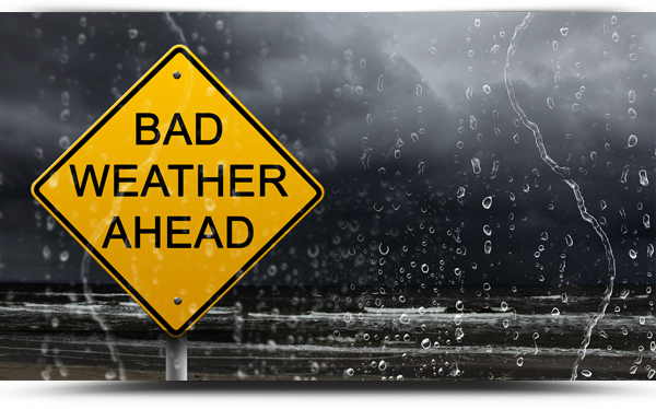
Met Eireann has issued a Status Orange low temperature/ice warning for Roscommon and a number of counties until midday Friday.
It will be extremely cold on Thursday night with temperatures dropping below -5 degrees expected widely, leading to severe frost and ice.
The warning remains in effect until 12 noon on Friday December 16th.
According to Met Eireann, a status orange weather warning is given before expected weather conditions that could significantly impact people, property and activity in an area. People in the affected areas should prepare appropriately now for the anticipated conditions.
Forecast
TODAY – Thursday 15th December
Very cold, sunny and mainly dry today, with just a few wintry showers in the northwest. Temperatures will remain below freezing in some parts for much of the day, with highs at best +1 to +3 degrees generally, in light northwesterly winds.
TONIGHT
Dry and clear with some freezing fog developing, as winds fall light and variable. Lowest temperatures again widely reaching -4 degrees inland, reaching -6 or -7 degrees in some eastern parts, while frost in coastal parts will be generally patchier.
TOMORROW – Friday 16th December
On Friday morning any freezing fog will gradually clear inland parts. It’ll start mainly dry and bright, with isolated showers. The shower activity will increase through the afternoon, falling as rain near the coasts with a few heavy or thundery bursts at times. It may also turn wintry, but lighter inland. Afternoon highs will range from 1 degrees in the east to 5 degrees in the west, in mostly light to moderate southwesterly winds.
NATIONAL OUTLOOK
Summary: After a cool start to the weekend, it will become much milder, wet and blustery by Sunday before gradually becoming cooler and somewhat more settled through the course of next week.
Friday Night: Not as bitterly cold, but lowest temperatures will still dip to between -3 degrees to plus 2 degrees, coldest in the east. Showery outbreaks of rain and sleet will continue in the west. Later in the night, outbreaks of rain and sleet will become more widespread with some turning to snow, especially over higher ground.
Saturday: Outbreaks of mostly rain and sleet will continue on Saturday morning, but will generally become confined to coastal counties in the afternoon as good sunny spells develop. Coldest across the northern half of the country with highest temperatures of 1 to 3 degrees, but rising up to 4 to 8 degrees in the south in mostly light southerly breezes.
Saturday night: Coldest early in the night with lows of -1 degrees in the north to 2 degrees in the south. Turning much milder in the south later in the night as a band of rain pushes up from the south. As it meets the cooler air over the northern half of the country it may fall as sleet, or even snow over higher ground for a time before transitioning back to rain. Becoming blustery too as southeasterly winds freshen across the country.
Sunday: The rain, preceded by some sleet, with snow on higher ground, will turn heavy at times as it pushes up across the country on Sunday morning. This will be followed by scattered showers from the south through the afternoon. While it will become milder everywhere, afternoon highs will range from 4 to 8 degrees in the north to 10 to 13 degrees further south as moderate to fresh southeasterly winds veer southerly and temperatures continue to rise in northern parts through the evening.
Sunday night: Remaining mild with showery outbreaks of rain on Sunday night while lowest temperatures will hold at a balmy 8 to 12 degrees in moderate to fresh southerly breezes.
Monday: After a mild, damp and mostly cloudy start, cooler showery conditions will spread from the west along with some sunny spells. Afternoon highs will range from 7 degrees in the northwest to 12 degrees in the southeast in mostly light southwesterly winds.
Further outlook: It looks to gradually get colder throughout next week.
