
Met Eireann has issued a Status Yellow snow-ice warning for all of Connacht including County Roscommon.
The warning also covers, Cavan, Monaghan, Donegal, Longford and Louth and is valid from midnight Tuesday April 2nd to 12 noon Wednesday April 3rd.
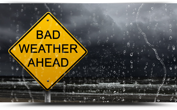
Falls of hail and sleet will occur with snow accumulations mainly on high ground. Lying snow in places below 250 meters. Icy patches.
Met Eireann forecast:
Tuesday will be a cold, blustery day, with a mix of sunny spells and widespread showers. Some will be heavy and of hail, with an ongoing risk of thunder. Some will fall as sleet or snow, especially on higher ground. High of 6 to 8 Celsius in moderate to fresh and gusty west to northwest winds. Winds will be stronger near windward coasts.
NATIONAL OUTLOOK
Cold and unsettled for the rest of the week, with a mix of bright spells and showers, some of them wintry.
Tuesday night: Cold, with further showers, some wintry. Most of the showers will be in Atlantic coastal counties, but they will occur in other parts also, especially in parts of the east and southeast. However, many areas will be dry, with clear spells. Minimum temperatures 0 to 4 Celsius, with a risk of frost in places sheltered from a moderate north to northwest wind. (The risk of frost is greatest in the east).
Wednesday, Thursday and Friday: Cold, with a mix of sunny spells and showers, some heavy and of hail, with a continuing risk of thunder. Some of the showers may be wintry also, especially over high ground. At night, good clear spells will develop, with most of the showers retreating to western, northern and eastern coastal counties. Temperatures will be two or three degrees below normal, with typical maximum values of 6 to 10 Celsius. Overnight lows will range 0 to 4 Celsius, possibly a little lower in some parts, with a risk of frost. Wednesday will be quite windy, with moderate to fresh north to northwest winds, strong along Ulster, Connacht and west Munster coasts, but winds on Thursday will be mostly moderate north to northeasterly, decreasing further on Friday, becoming light to moderate easterly or variable by then. A few mist or fog patches may occur on Thursday and Friday nights, with lighter winds.
Weekend: Early indications suggest that temperatures will return close to normal and there will be a good deal of dry weather, with sunny spells,. But some further scattered showers also. Winds mostly moderate east to northeast.
