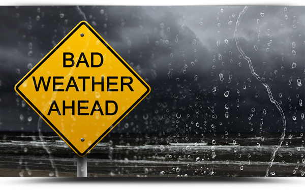

The worst of Storm Franklin has now passed with a number of customers in the Boyle area having lost power during the height of the strong winds.
It is hoped to have the 1360 homes and businesses in Boyle reconnected by 3pm Monday afternoon. They have been without power since 2am.
155 customers in the Crossna area are again without power this morning following this most recent storm and it is hoped to have them reconnected by 11am.
The Status Yellow wind warning remains in place for all of Ireland until 9am Monday morning.
The North West bore the brunt of the strong winds with a gust of 126kph recorded overnight at Finner in Co. Donegal.
There are reports of many trees uprooted and debris on roads in the region with An Garda Siochana advising motorists to drive with caution and expected the unexpected.
National weather outlook
Overview: Remaining unsettled with windy and wet conditions at times. Colder interludes will also bring some wintry showers through the middle of the week.
Tuesday night: Becoming mostly dry with long clear spells early on Tuesday night, though cloud will increases as the night goes on with patchy outbreaks of rain developing in the west late in the night. Lowest temperatures of 0 to 5 degrees, with a touch of frost possible in the east early, but temperature will increase after midnight as southwest winds increase moderate to fresh and gusty.
Wednesday: Sunny spells and scattered showers on Wednesday morning but more persistent rain will spread from the Atlantic through the afternoon and evening. Another blustery day with fresh to strong and gusty southwest winds. Highest afternoon temperatures of 6 to 11 degrees, coolest in then north west and becoming cooler across the country through the afternoon.
Wednesday night: It will turn much colder early on Wednesday night as rain clears to the east. Showers will follow behind, falling as sleet and snow in places as well as the chance of some isolated thunderstorms and some hail with lowest temperatures of -2 to +1 degrees allowing some frost and icy stretches to develop in mostly moderate southwest winds.
Thursday: A chilly day with sunny spells and scattered blustery showers, some falling as hail, sleet and snow on higher ground. Highest temperatures of 3 to 7 degrees, coolest in the north but feeling even colder in fresh to strong and gusty westerly winds.
Thursday night: Wintry showers will mostly become confined to northwest coasts overnight with good dry clear spells developing. Lows will fall to 0 to 4 degrees, coolest towards morning with a touch of frost possible as west to northwest winds ease light to moderate.
Friday: Mostly dry with good sunny spells in the morning but cloud and some isolated patchy drizzle will spread from the west through the afternoon. Highs of 7 to 10 in light to moderate southwest winds.
Weekend outlook: Mild over the weekend, cloudy with outbreaks of rain on Saturday, drier with sunny spells on Sunday.
(File pic)