
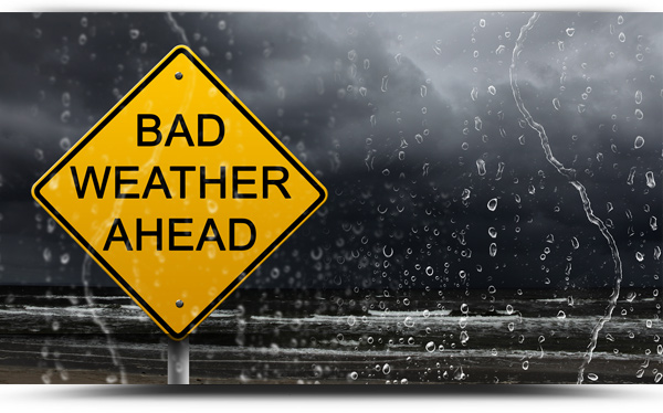
A Status Yellow rainfall warning is currently in place for all of Connacht including County Roscommon,
There will be heavy rain at times Monday and Tuesday with a risk of flooding. Rainfall totals of around 30-50mm expected, possibly higher in mountainous areas.
The warning came into place at 8am Monday and is valid until 3pm Tuesday.
Met Eireann predict persistent rain for much of today. The rain will be heavy in some areas with a risk of localised flooding, with a heightened risk of flash flooding in mountainous regions. Highest temperatures of 12 to 14 degrees in fresh to strong south to southeast winds.
TONIGHT
Further spells of heavy rain spreading overnight with a continued risk of localised flooding. The rain will clear northwards overnight with some clear spells developing. Lowest temperatures of 10 to 12 degrees. Fresh southeasterly winds.
TOMORROW – TUESDAY 20TH OCTOBER
Tomorrow, Tuesday will be a windy day with showery outbreaks of rain. Further heavy downpours are expected with isolated thunderstorms and a risk of localised flooding. Highest temperatures of 13 or 14 degrees. Strong and gusty south winds.
NATIONAL OUTLOOK
Summary: Low pressure dominating for the rest of the week, bringing spells of wet and windy weather.
Tuesday night: Drier conditions will develop in many areas on Tuesday night although showery outbreaks of rain will continue in parts of the west and north. Lowest temperatures of 7 and 10 degrees, with southerly winds easing overnight.
Wednesday: Quite a mixed day with scattered showers, mainly in western areas, with the midlands seeing the best of any sunshine. Highest temperatures of 12 to 14 degrees. Light cyclonic variable winds, although fresh to strong northerly winds along western coasts.
Wednesday night: A few showers overnight but a lot of dry weather too with clear spells. Lowest temperatures of 1 to 5 degrees with frost possible in southern many. Light to moderate west to northwest breezes.
Thursday: A mostly dry day with good spells of sunshine and just a few showers. Cloud will increase from the west later in the day. Highest temperatures of 10 to 13 degrees in mostly light southwesterly breezes.
Thursday Night: Starting mostly dry across the country but a band of rain will push in from the Atlantic towards midnight, spreading eastwards overnight. Lows of 6 to 8 degrees. Moderate southerly winds veering west with the clearance of the rain.
Friday: Outbreaks of rain clearing into the Irish Sea early in the morning to give a bright day on Friday with sunny spells and scattered showers. Chilly with highs of 9 to 11 degrees in moderate westerly winds.
Further outlook: Continuing unsettled for the weekend with further spells of wet and windy weather.
