

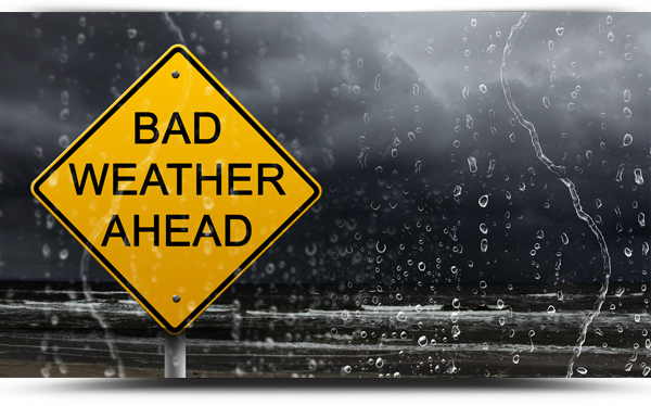
Status Yellow wind and rain warnings for all of Ireland will come into place at 3pm on St. Stephen’s Day December 26th and will remain in force until 4am Sunday 27th.
On Saturday (St Stephen’s Day), through the late afternoon, evening and night, westerly winds associated with Storm Bella (named by UK Met Office) will reach mean speeds of 50 to 65km/h with gusts of 90 to 110km/h. Gusts will be higher at times near the west coast.
In addition, heavy rain associated with Storm Bella will move southwards over Ireland and may cause localised flooding in some areas during the same period.
TODAY – SATURDAY 26TH DECEMBER
Today, St. Stephen’s Day, will start breezy and quite cloudy with some patchy mist or drizzle. It will become wet and windy during the afternoon and evening with very strong and gusty southwesterly winds developing and gales in western coastal areas. Later this morning, rain will move into north Connacht and spread southwards, becoming heavy and giving a risk of spot flooding. Highest afternoon temperatures of 7 to 9 degrees.
TONIGHT
Widespread heavy rain will gradually clear southwards early tonight and will be followed by scattered showers. It will turn much colder with the clearance of the rain, so some showers will be wintry. Very strong and gusty west to southwest winds will persist early in the night, with gales in western coastal areas, but winds will decrease overnight. A cold night with lowest temperatures of 0 to 4 degrees, with frost and ice forming in more sheltered locations.
TOMORROW – SUNDAY 27TH DECEMBER
Tomorrow will be a cold and blustery day with sunny spells and scattered showers, some of sleet and possibly snow. A band of more persistent and heavier rain will move into west Connacht during the evening and again may be wintry in nature in places. It will be a breezy day with fresh to strong westerly winds, with gales developing near western coasts in the evening. Highest afternoon temperatures of just 2 to 5 degrees.
NATIONAL OUTLOOK
Summary: Cold and breezy with showers, wintry at times.
Sunday night: A band of showers will move southeastwards over the country early on Sunday night, wintry at times. This will be followed by largely dry and clear conditions overnight, although scattered showers will persist in the northwest and west. It will be cold and windy with fresh to strong northwesterly winds and lowest temperatures of -1 to +2 degrees.
Monday: Monday will be cold with widespread showers, possibly wintry on higher ground, with a risk of hail. Highest temperatures of 5 to 8 degrees but feeling colder due to fresh and gusty northwesterly winds.
Monday night: Staying cold and blustery with a mix of clear spells and scattered showers, turning wintry on higher ground. Lowest temperatures of 0 to 4 degrees in fresh and gusty northwesterly winds.
Tuesday: Another cold and blustery day is forecast for Tuesday, with sunny spells and scattered showers, mainly in the west and north and turning wintry at times. Afternoon temperatures of just 3 to 5 degrees with fresh and gusty northwesterly winds.
Tuesday night: Scattered wintry showers will continue near coasts in the west and northwest on Tuesday night, but there is a chance of more persistent rain in the southwest. It will be very cold and frosty with lowest temperatures of -3 to +1 degrees in light to moderate westerly breezes.
Wednesday: Another cold day but mostly dry with sunny spells, although there will be further scattered showers near coasts in the west and north. Light to moderate northwesterly winds and afternoon temperatures of 3 to 5 degrees.
